

GIS and Communication
GIS and Communication
We are experts in GIS mapping and conversion, land base data mapping, digital image processing, and location-based solutions. We also create, update, and maintain these systems. Allyces offers talented process engineering teams and consultants that are able to provide our clients in every country the most secure, top-notch services with rapid turnaround and accurate outcomes.
Our process engineering team has experience in creating, updating, and maintaining GIS mapping & conversion, base data mapping, digital imaging, and site-based solutions. Our process engineering teams and consultants can provide the safest, highest quality, most accurate, and most scalable services with fast turnaround times to our customers worldwide.
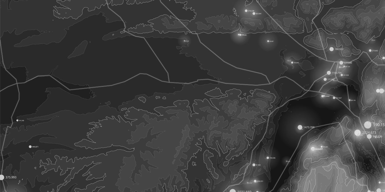
We have supported the global telecommunications industry with a variety of services. Our wide range of solutions that have helped the industry overcome numerous challenges and provide the highest level of satisfaction to its users range from creating GIS land base for wire line telecom networks, generating high-resolution 3D models for accurate planning of wire line and wireless networks. Using aerial imagery, LiDAR, and object-based image analysis (OBIA), we have created 3D building and tree vectors as well as land cover classifications at 1-meter resolution of metropolitan areas. This type of telecom-tailored information allows industry leaders to analyze urban and residential areas to determine optimal locations for 5G sensors. Whether you are planning to build new networks or expand the capacity of existing ones, Allyces is well equipped to be your trusted partner as we move into the new telecommunications age.
LiDAR Data Processing
Allyces provides LiDAR Data Processing Services for various industries. LIDAR (Light Detection And Ranging), a new technology in the field of topographical data collection with high speed, high density and accurate data. LIDAR scanning can occur day or night, as long as clear flying conditions are present, also have the capability to capture intensity reflectance data in addition to the x-y-z coordinates.
UAV Image Processing
UAV image processing software may be used to build digital models that show the elevation, topography, and surface of photographed places. It can also output 2D and 3D models and maps. This thorough information may be utilised to simulate flight paths and is important for drone mapping applications.
Cadastral Mapping
Hard copy maps can be scanned, each map can be georeferenced, and the maps can be digitized using the right layer structure.
Orthophoto Services
The creation of orthophotos utilising terrain relief information (DTM) and the accompanying digital picture has resulted in a collection of computer applications. The orthophoto cell location on the digital aerial image is calculated using a process that starts with the terrain position of each orthophoto cell or pixel, followed by the associated DTM and photograph orientation parameters.
Photogrammetry
The processes of recording, measuring, and interpreting photographic images and patterns of observed radiant electromagnetic energy and other phenomena constitute the art, science, and technology of photogrammetry, which is used to obtain accurate information about real-world objects and the environment.
Topographical Mapping
A topographic map or topographic sheet is a form of map used in modern mapping that is distinguished by large-scale detail and quantitative depiction of relief characteristics, often using contour lines, but previously using a variety of approaches.
Uses of GIS and Communication
- Better geographic information recordkeeping
- Managing geographically.
- Improved communication
- Better decision making.
- Cost savings resulting from greater efficiency.
What is GIS and Communication?
GIS helps users understand patterns, relationships, and geographic context. The benefits include improved communication and efficiency as well as better management and decision making.
What is LiDAR Data Processing?
For precise 3-D vision, navigation, and mapping, robots, advanced driver assistance systems (ADAS), and unmanned aerial vehicles (UAVs) all use lidar sensors. Lidar is a type of active remote sensing technology that employs laser light to gauge how far away things are from the sensor in a scene.
What is Photogrammetry?
Using photographic pictures, patterns of electromagnetic radiant imaging, and other occurrences, photogrammetry is the science and technology of gathering accurate information about real-world objects and the surroundings.
What is Point Cloud Classification?
The point cloud classification is a process which is based on machine learning techniques required for training on labelled data. The geometry and the nature of the information are used to assign the points of the densified point cloud in one of the predefined groups.